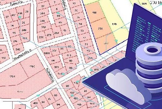
As part of dedicated land records digitization services for real estate aggregators and companies, we provide up-to-date and accurate parcel mapping, boundary mapping, and property data. Our comprehensive data facilitates actionable intelligence and profitable decisions.
Land records digitization solutions for easy access to reliable land & property records
Digitizing real estate land records is highly process intensive due to transactional complexities and formalities.
We provide land record document conversion and management of paper records and analog data to a digital format to help you maintain the integrity of public records. With strong technical and automation capabilities, we streamline workflows to manage data entry of unorganized and unstructured records, cleaning of land records, abstraction of records from lease and agreement files in PDF format.
Strong digital records maintenance, and flexible record retrieval options help you to enhance and fast track your records management system and adhere to data compliance norms.
Get access to high quality land and property records.
The client a leading real estate parcel data aggregation company empowering its global clientele with real estate data and insights.
Leading Real Estate Data Aggregator, USA
Decades of paper-based land records were at risk of deterioration and nearly impossible to search. HabileData digitized about 150,000 land title records with metadata indexing that made them searchable for the first time. Title verification that used to take weeks now takes hours, which has measurably reduced land disputes in the regions we’ve processed.
Samuel N., Director of Land Administration, Government Lands Agency, Ghana
Our deed books going back to 1890 needed digitization before the originals degraded further. HabileData scanned and indexed over 200,000 pages with grantor/grantee names, parcel numbers, and recording dates. The public access portal we launched afterward reduced in-person record requests by about 65%.
Margaret S., County Recorder, County Government Office, USA
French cadastral records from multiple departments had different classification systems and formats. HabileData digitized 80,000 parcels worth of records and mapped them to a unified schema. Our portfolio analysts could finally compare properties across regions without manually cross-referencing paper files.
Catherine M., Head of Archives, Real Estate Investment Company, France
Disclaimer: HitechDigital Solutions LLP and HabileData will never ask for money or commission to offer jobs or projects. In the event you are contacted by any person with job offer in our companies, please reach out to us at info@habiledata.com.